It did get cold at night.
23 Sept 99, Racine WI
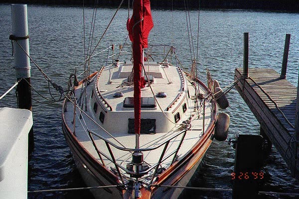
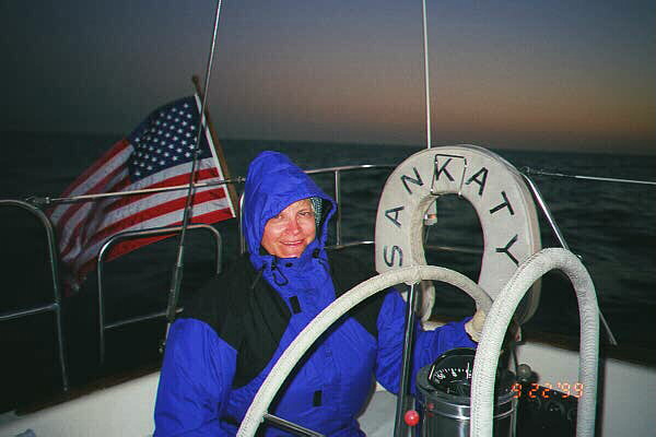
Wednesday night the wind was to be 10 to 15 miles per hour and we almost had a full moon. The ride was beautiful and Sankaty sails like a dream. Judy got the hang of how to steer, which turns out to be very little. Once the sails are set, Sankaty takes over and steers herself for the most part. All she needed was a little nudge here and there when the wind changed direction.
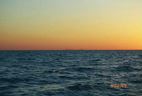
The wind switched slowly from the west to the southwest during the trip. About 10:00 PM, just as Chicago's lights were crisp in the night sky, the wind picked up velocity and the trip became a bit of a challenge, but we did fine. Neffy was the only one to get sick. She was better after Judy brought her out in the cockpit and held her close for a while.
At midnight, Markus used the life harness while reefing the sails. Judy would not allow reefing without Markus having a life harness on and connecting it to lines while at the mast or standing on the cabin top. After reefing the jenny and the main, Sankaty still was going at 7 knots so the wind had picked up way beyond the initial forecast. Markus now realizes that the near shore forecast is not the same as the Lake Michigan forecast. Usually the wind is 5 to 10 knots higher in the Lake Michigan forecast. The trip was 90 miles in less than 12 hours (6.8knots).
We did not actually go into the harbor until after sunrise as we had made errors in entering data into the GPS and we did not have a proper harbor chart so we just were not sure what this reef light meant. We reached back and forth for a few hours until we saw a sailboat come out of the harbor and simply followed it's path in reverse while keeping a close eye on the depth gauge. The maps in the computer did not have depths or our navigator simply has not figured out how to get map tech to display the depth. Also map tech displayed degrees and hundreds of degrees which our GPS would not accept, as it likes degrees and minutes. Even the cheapest Garmin gives a little map on which you can easily tell if something is north or south of another point. E.g. Racine harbor better be a bit north of the reef light. When it was not the pilot realized that the navigator entered a bad number.
Next time we are going to get electronic charts and a cable so that we can download the waypoints to the GPS. They sold us electronic maps that showed all the roads in the US and in some cases the lights on the water. I occasionally got water depths to show up, but not every time.
Loran was our back up, but we are pretty weak on Loran so we are glad we did not need it.
Stayed in Racine at the Chart Room Restaurant.