Left Key West on Saturday morning the 22 and arrived at Boot Key in Marathon that evening. The next day Sunday we took my sister Ruth and my niece Heidi out to
Sombrero Reef Light for a little snorkling.On Monday the 23rd we sailed to Key Largo's Rodriguez Key near the John Pennakamp park.
The next trip was a long one of 70 miles from Rodriguez Key to Ft. Lauderdale. We had 20 mile per hour winds out of the west with gusts to 30. It was a super ride as the waves were seldom more than 2 feet. The speed over land was often near 8 miles per hour as we where on the edge of the gulfstream's beautiful dark blue water.
In Daytona we fueled up, emptied the black water tank, filled the clear water tanks, and disposed of the used crankcase oil that we changed just north of Cape Canaveral.

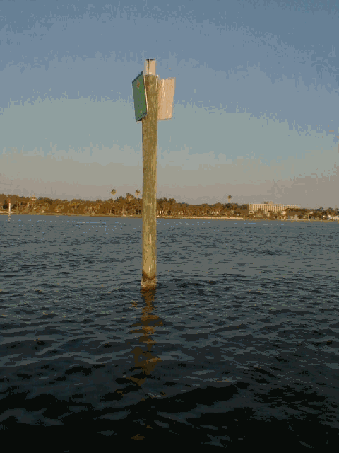
This is Marker 33 on the east side of the ICW in Daytona Beach I rubbed it on
east side while worrying about where to anchoring for the 29th of
April. This marker is located between two bascule bridges less than 600 yards
apart and for some reason the marker ended up being right smack behind the mast
and thus was hidden from my view. Normally I move around at the helm so that the
cabin and mast do not hinder my ability to see ahead, but this time I was
distracted.
In St. Augustine, we are anchored out for the nights of Apr 30th and May
1st.
May 6th, Saturday night in Richmond Hill, GA
We are eating at the Seafood Restaurant on the Kilkenny Creek that feeds into
the ICW about 2 miles from here. Shrimping is a big industry here and so is
fishing. We saw a 4 foot Mahi Mahi on the filleting bench today.
We are
anchored in the middle of Kilkenny Creek in 10 feet of water about 300 yards
from the restaurant.
May 11, the whisker pole snapped in the middle during a gust of wind and Mark fixed it, but it is a bit shorter now. Cruising is sure a problem solving activity
May 17th Beaufort, NC. We stayed a couple days here as we had been pushing
too hard. We have been sailing/motoring 10 to 12 hours a day. Too much, and we
got exhausted, which is not good for Mark so we decided to take a little break
in Beaufort. It is a quaint little town with sea faring roots that we read about
at the museum. The maritime museum allows cruisers to use a courtesy car for two
hours of shopping. Nice touch. There is a very strong effort being made to
revitalize the downtown area, including little flower gardens maintained by
volunteers, new apartment buildings, new municipal docks with free dinghy spots,
and some nice resturants.
Going north from Beaufort is tricky as the old
channel is now shoaled in and the new chart is only available from the local
marinas. Going north from Morehead City is OK. We learned the hard way and got
stuck a couple of times before we turned back and got some directions at the
marina along with a xerox copy of the new channel and channel markers.
Here we went via Neuse River, Adams Creek, and a canal that led to Goose Creek with a 4 mile stretch on Pamlico Sound. Then we went to the Pungo River on our way to Belhaven and beyond to the Alligator River - Pungo River Canal that will took us to the Alligator River. We then went 14 miles across the Albemarle Sound to the Pasquotank River and up to Elizabeth City, NC. We arrived in Elizabeth City shortly after night fall so we did not qualify for roses that are handed out every evening near the free municipal dock. The wind on Albemarle sound was from the aft quarter, we made great time, but did have to reef. There was another boat that sailed near us the entire time.
After Elizabeth City came the Great Dismal Swamp Canal that took us to Norfolk at the southern edge of Chesapeake Bay. We stopped in Norfolk to visit Mark's cousin on May 20 and 21. So far, we were right on schedule, but we started to feel a bit hasselled.